


520 kilometers of cycling routes to be connected in Guangzhou
BY :SilkRoadPost
UPDATED :2024-07-18

A total of 520 kilometers of cycling routes traversing mountains and waterfront areas will be connected in Guangzhou city, according to a recent meeting organized by Guangzhou Municipal Planning and Natural Resources Bureau.
The cycling routes link the Conghua district’s Liuxi River National Forest Park in northern Guangzhou with the sea areas in southern Guangzhou’s Nansha district along the Pearl River.

The cycling network is built upon the already existing infrastructure of green ways, ecological belts, country roads, and slow lanes, with new efforts focusing on building connecting sections of cycling routes and improving riding environment.
Besides, various themes will be incorporated into the cycling routes, highlighting the unique characteristics of traditional villages, industrial heritage, industrial towns, ecological resources, urban landscapes, and coastal views along the way.
People can search on navigation application Amap (高德地图) with keywords “广州520山海骑行道”, or “山海骑行” on Baidu Maps to get the recommended cycling routes.
The following section presents a selection of the most popular cycling routes in the city.
1. Xinhepu Lu — Donghu Lu — Ersha Island — Guangzhou Bridge — Linjiang Dadao — new central axis

2. Huangpu Ancient Port — Wanshengwei — Yuejiang Lu — Liede Bridge — Belt Park of Linjiang Dadao


3. Guanzhou metro station — the Shandi Park of Guangzhou International Bio Island — Shuimo Garden — the ecological belt on Bio Island

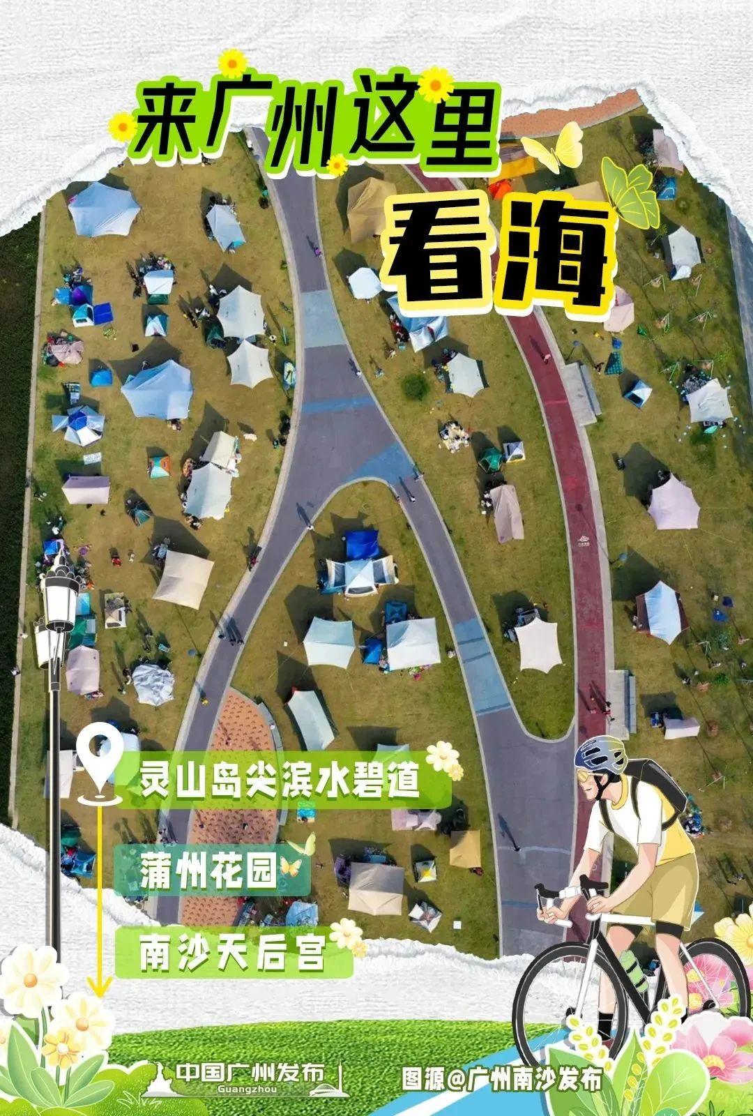
4. Ecological belt in Lingshan Daojian — Puzhou Garden — Nansha Tianhou Palace

5. Chuxi Leisure Park — Hezhizhou Wetland Park — Zengjiang River greenway — Linjiang Park — He Xiangu Scenic Spot

Sources and photos: 中国广州发布、广州天河发布
Author: Annie